
Helmsley topographic map
Interactive map
Click on the map to display elevation.
About this map
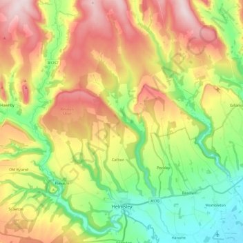
Name: Helmsley topographic map, elevation, terrain.
Location: Helmsley, North Yorkshire, Angleterre, Royaume-Uni (54.22631 -1.10144 54.35774 -1.02102)
Average elevation: 180 m
Minimum elevation: 30 m
Maximum elevation: 375 m