Geolocate

Comstock topographic map

Click on the map to display elevation.

About this map

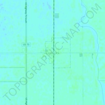
Name: Comstock topographic map, elevation, terrain.

Location: Comstock, Clay County, Minnesota, 56525, United States (46.65555 -96.75284 46.66346 -96.74177)

Average elevation: 281 m

Minimum elevation: 279 m

Maximum elevation: 284 m

Other topographic maps

Click on a map to view its topography, its elevation and its terrain.

Ruthruff

United States > Minnesota > Clay County

Average elevation: 279 m

Gear up for your next adventure:

Lightweight Backpacking Tent - Compact tent for efficient hiking trips
🧊Portable Cooler - Keep food and drinks cold during outdoor adventures
🦟Insect Repellent - Keep mosquitoes and black flies away in wooded areas
🧢Outdoor Cap - Protective cap for sun and rain during hikes
🎒Fully Waterproof Backpack - Total protection for photography gear and electronics

As an Amazon Associate, this site earns from qualifying purchases at no extra cost to you.