Geolocate

Mallyal topographic map

Click on the map to display elevation.

About this map

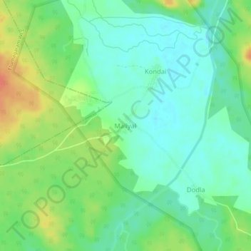
Name: Mallyal topographic map, elevation, terrain.

Location: Mallyal, Eturnagaram mandal, Mulugu, Telangana, India (18.34590 80.28719 18.38590 80.32719)

Average elevation: 110 m

Minimum elevation: 94 m

Maximum elevation: 137 m

Gear up for your next adventure:

🧢Sun Hat - Wide-brim hat for sun protection
🥘Camping Cookware Set - Compact nesting pots and pans for trail cooking
🧴Insect Repellent - Protect yourself from bugs during outdoor adventures
🔪Outdoor Multitool - Versatile tool for repairs and food prep in the wild
🧥Packable Rain Jacket - Breathable waterproof layer for unpredictable weather

As an Amazon Associate, this site earns from qualifying purchases at no extra cost to you.