
Kebonjeruk topographic map
Interactive map
Click on the map to display elevation.
About this map
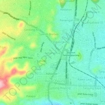
Name: Kebonjeruk topographic map, elevation, terrain.
Location: Kebonjeruk, Bandar Lampung, Lampung, 35121, Indonésie (-5.43001 105.23299 -5.39001 105.27299)
Average elevation: 124 m
Minimum elevation: 64 m
Maximum elevation: 267 m