
Ascott-under-Wychwood topographic map
Interactive map
Click on the map to display elevation.
About this map
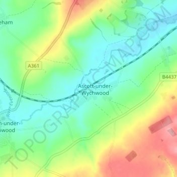
Name: Ascott-under-Wychwood topographic map, elevation, terrain.
Average elevation: 127 m
Minimum elevation: 90 m
Maximum elevation: 198 m
Other topographic maps
Click on a map to view its topography, its elevation and its terrain.
Mount Skippett
Royaume-Uni > Angleterre > Oxfordshire > West Oxfordshire > Ramsden
Mount Skippett, Ramsden, West Oxfordshire, Oxfordshire, Angleterre, OX7 3AP, Royaume-Uni
Average elevation: 135 m
Combe
Royaume-Uni > Angleterre > Oxfordshire > West Oxfordshire
Combe, West Oxfordshire, Oxfordshire, Angleterre, Royaume-Uni
Average elevation: 106 m