
Lahri topographic map
Interactive map
Click on the map to display elevation.
About this map
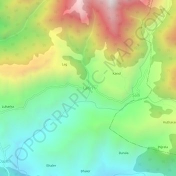
Name: Lahri topographic map, elevation, terrain.
Location: Lahri, Shahpur, Kangra, Himachal Pradesh, 176218, Inde (32.27048 76.20466 32.31048 76.24466)
Average elevation: 1,714 m
Minimum elevation: 1,178 m
Maximum elevation: 2,581 m