
los Colls topographic map
Interactive map
Click on the map to display elevation.
About this map
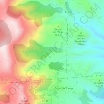
Name: los Colls topographic map, elevation, terrain.
Location: los Colls, Tremp, Pallars Jussá, Lérida, Cataluña, España (42.15253 0.80125 42.17253 0.82125)
Average elevation: 788 m
Minimum elevation: 582 m
Maximum elevation: 1,076 m
Other topographic maps
Click on a map to view its topography, its elevation and its terrain.
Sant Feliu
Sant Feliu, Tremp, Pallars Jussá, Lérida, Cataluña, 25260, España
Average elevation: 517 m