
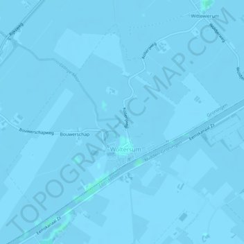
Woltersum topographic map
Interactive map
Click on the map to display elevation.
About this map
Name: Woltersum topographic map, elevation, terrain.
Location: Woltersum, Groningen, Nederland (53.26317 6.71065 53.28506 6.75114)
Average elevation: -1 m
Minimum elevation: -4 m
Maximum elevation: 2 m
Other topographic maps
Click on a map to view its topography, its elevation and its terrain.