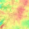
Wilmington topographic map
Click on the map to display elevation.
Wilmington
On the western side of Market Street, the Piedmont topography is rocky and hilly, rising to a point that marks the watershed between the Brandywine River and the Christina River. This watershed line runs along Delaware Avenue westward from 10th Street and Market Street.
About this map
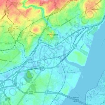
Name: Wilmington topographic map, elevation, terrain.
Location: Wilmington, New Castle County, Delaware, United States (39.68804 -75.58846 39.77304 -75.47078)
Average elevation: 20 m
Minimum elevation: -7 m
Maximum elevation: 95 m
Other topographic maps
Click on a map to view its topography, its elevation and its terrain.