Geolocate

korlai topographic map

Click on the map to display elevation.

About this map

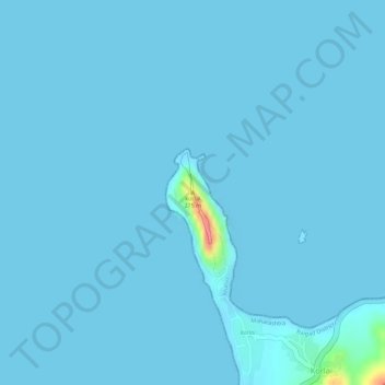
Name: korlai topographic map, elevation, terrain.

Location: korlai, Korlai, Murud, Raigad, Maharashtra, 402203, India (18.53822 72.90712 18.53832 72.90722)

Average elevation: 2 m

Minimum elevation: 0 m

Maximum elevation: 76 m

Gear up for your next adventure:

🧢Hiking Sun Hat - Wide-brimmed protection for exposed mountain ridges
🔋Lithium AA Batteries - Long-lasting power that performs in extreme cold
🏃Hydration Running Vest - Carry water and maps close to your body for speed
🧢Sun Hat - Wide-brim hat for sun protection
🥤Collapsible Travel Cup - Saves space and weight in your mess kit

As an Amazon Associate, this site earns from qualifying purchases at no extra cost to you.