
Kisale topographic map
Interactive map
Click on the map to display elevation.
About this map
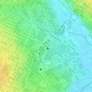
Name: Kisale topographic map, elevation, terrain.
Location: Kisale, Katuba, Kipushi, Haut-Katanga, RD Congo (-11.71449 27.46093 -11.70025 27.46832)
Average elevation: 1,203 m
Minimum elevation: 1,191 m
Maximum elevation: 1,220 m