
Varsselder topographic map
Interactive map
Click on the map to display elevation.
About this map
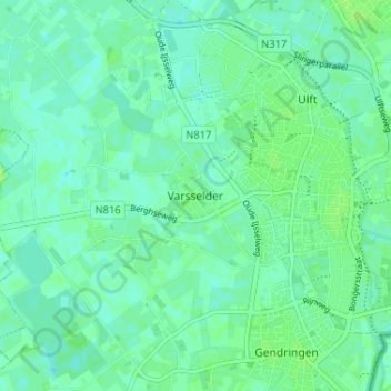
Name: Varsselder topographic map, elevation, terrain.
Location: Varsselder, Geldern, Niederlande, 7076, Niederlande (51.86825 6.33985 51.90825 6.37985)
Average elevation: 16 m
Minimum elevation: 11 m
Maximum elevation: 22 m