Geolocate

Kalasa topographic map

Click on the map to display elevation.

About this map

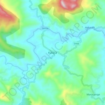
Name: Kalasa topographic map, elevation, terrain.

Location: Kalasa, Kalasa taluk, Chikkamagaluru, Karnataka, 577124, India (13.19222 75.31824 13.27222 75.39824)

Average elevation: 897 m

Minimum elevation: 747 m

Maximum elevation: 1,447 m

Gear up for your next adventure:

🧥Softshell Hiking Jacket - The perfect balance of wind protection and breathability
🧥Ultralight Puffy Jacket - Maximum warmth that packs down to the size of an orange
🧢Beanie Hat - Keep your head warm in cold weather
🚲Heavy Duty Bike Lock - Secure your bike at the trailhead or during stops
🧼Travel Hand Sanitizer - Keep hands clean when water is scarce

As an Amazon Associate, this site earns from qualifying purchases at no extra cost to you.