Geolocate

Roccaverano topographic map

Click on the map to display elevation.

About this map

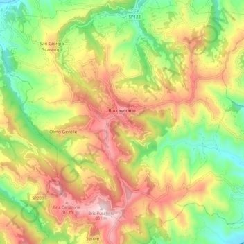
Name: Roccaverano topographic map, elevation, terrain.

Location: Roccaverano, Asti, Piedmont, Italy (44.55217 8.24644 44.62510 8.32682)

Average elevation: 514 m

Minimum elevation: 222 m

Maximum elevation: 840 m

Gear up for your next adventure:

📷Outdoor Action Camera - Capture high-elevation views and rugged adventures
🧦Crew Hiking Socks - Comfortable socks for long-distance hikes
Tent Footprint - Protect tent floor and increase durability
🛶Kayak Dry Bag - Waterproof storage for kayaking adventures
Lightweight Backpacking Tent - Compact tent for efficient hiking trips

As an Amazon Associate, this site earns from qualifying purchases at no extra cost to you.