
Luya topographic map
Interactive map
Click on the map to display elevation.
About this map
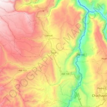
Name: Luya topographic map, elevation, terrain.
Location: Luya, Provincia de Luya, Amazonas, Perú (-6.23131 -78.06326 -6.10124 -77.90150)
Average elevation: 2,396 m
Minimum elevation: 1,455 m
Maximum elevation: 3,240 m