
Los Andes topographic map
Interactive map
Click on the map to display elevation.
About this map
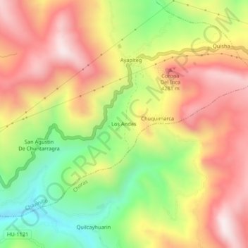
Name: Los Andes topographic map, elevation, terrain.
Location: Los Andes, Province of Yarowilca, Huánuco, Peru (-9.89488 -76.57320 -9.85488 -76.53320)
Average elevation: 3,910 m
Minimum elevation: 3,496 m
Maximum elevation: 4,277 m