Geolocate

Kedopok topographic map

Click on the map to display elevation.

About this map

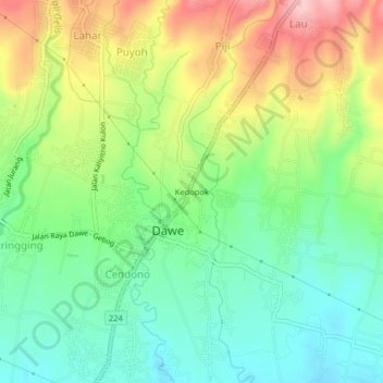
Name: Kedopok topographic map, elevation, terrain.

Location: Kedopok, Dawe, Kudus, Central Java, Java, 59354, Indonesia (-6.75086 110.85147 -6.71086 110.89147)

Average elevation: 148 m

Minimum elevation: 79 m

Maximum elevation: 257 m

Gear up for your next adventure:

🧦Crew Hiking Socks - Comfortable socks for long-distance hikes
🚲MTB Frame Bag - Carry tools and maps directly on your bicycle frame
Camping Tent - Weather-resistant tents suitable for 2 to 6 people
🔭Outdoor Binoculars - Lightweight binoculars for birdwatching and hiking
🥾Trail Hiking Boots - Supportive boots for rough trails

As an Amazon Associate, this site earns from qualifying purchases at no extra cost to you.