Geolocate

Gunung Butak topographic map

Click on the map to display elevation.

About this map

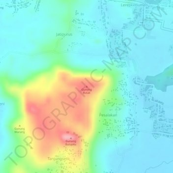
Name: Gunung Butak topographic map, elevation, terrain.

Location: Gunung Butak, Kebumen, Central Java, Java, 54314, Indonesia (-7.68783 109.72495 -7.68773 109.72505)

Average elevation: 48 m

Minimum elevation: 11 m

Maximum elevation: 141 m

Gear up for your next adventure:

💧Collapsible Water Bottle - Space-saving water bottle for outdoor activities
🧊Portable Cooler - Keep food and drinks cold during outdoor adventures
🏃Hydration Running Vest - Carry water and maps close to your body for speed
🧥Thermal Fleece Jacket - Versatile insulation for changing mountain temperatures
🥾Hiking Shoes - Durable and comfortable shoes for trail hiking

As an Amazon Associate, this site earns from qualifying purchases at no extra cost to you.