Geolocate

Santa Palet topographic map

Click on the map to display elevation.

About this map
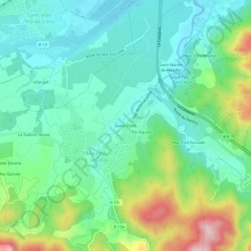
Name: Santa Palet topographic map, elevation, terrain.

Location: Santa Palet, Maureillas-las-Illas, Céret, Pyrénées-Orientales, Occitanie, France métropolitaine, 66480, France (42.47460 2.79098 42.51460 2.83098)

Average elevation: 152 m

Minimum elevation: 75 m

Maximum elevation: 347 m

Other topographic maps

Click on a map to view its topography, its elevation and its terrain.

Gear up for your next adventure:

🚲Heavy Duty Bike Lock - Secure your bike at the trailhead or during stops
🥾Waterproof Hiking Boots - Boots keeping your feet dry in wet conditions
🧭GPS Outdoor Watch - Smart watch for navigation and fitness tracking in nature
🔥Camping Stove - Portable stoves to cook outdoors with ease
💡Portable Camping Lamp - Rechargeable lamp for campsite lighting

As an Amazon Associate, this site earns from qualifying purchases at no extra cost to you.