
Glenfield topographic map
Interactive map
Click on the map to display elevation.
About this map
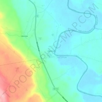
Name: Glenfield topographic map, elevation, terrain.
Location: Glenfield, Lewis County, New York, United States (43.69035 -75.42213 43.73035 -75.38213)
Average elevation: 261 m
Minimum elevation: 219 m
Maximum elevation: 378 m