
Roy topographic map
Interactive map
Click on the map to display elevation.
About this map
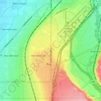
Name: Roy topographic map, elevation, terrain.
Location: Roy, Weber County, Utah, 84067, États-Unis d'Amérique (41.15262 -112.08854 41.20538 -112.01448)
Average elevation: 1,345 m
Minimum elevation: 1,297 m
Maximum elevation: 1,422 m