
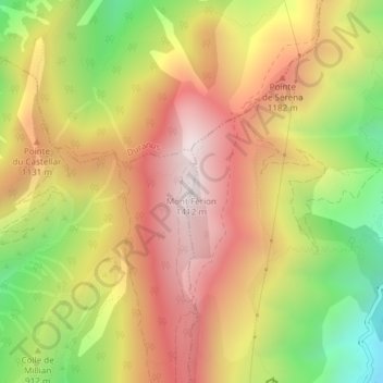
Mont Férion topographic map
Interactive map
Click on the map to display elevation.
About this map
Name: Mont Férion topographic map, elevation, terrain.
Average elevation: 979 m
Minimum elevation: 468 m
Maximum elevation: 1,398 m
pour venir se terminer au col de Châteauneuf, à 626 m d'altitude.