Geolocate

Silver Lake topographic map

Click on the map to display elevation.

👉 Easily get elevation data in JSON, GeoTIFF and KML formats using Elevation API
Thank you for supporting this site ❤️
Make a donation

About this map

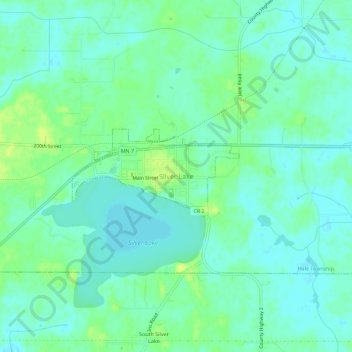
Name: Silver Lake topographic map, elevation, terrain.

Location: Silver Lake, McLeod County, Minnesota, 55381, United States (44.88330 -94.21553 44.92330 -94.17553)

Average elevation: 320 m

Minimum elevation: 313 m

Maximum elevation: 330 m

Gear up for your next adventure:

🛏️Camping Sleeping Mat - Comfortable mats for sleeping outdoors
🛶Kayak Dry Bag - Waterproof storage for kayaking adventures
🏃Hydration Running Vest - Carry water and maps close to your body for speed
🚲Bike Repair Kit - Essential tools for on-trail mechanical issues
💧Reusable Water Bottle - Durable water bottles for hydration on trails

As an Amazon Associate, this site earns from qualifying purchases at no extra cost to you.