
Methana topographic map
Interactive map
Click on the map to display elevation.
About this map
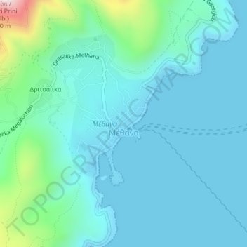
Name: Methana topographic map, elevation, terrain.
Location: Methana, Δήμος Τροιζηνίας - Μεθάνων, Îles, Attique, Grèce (37.57479 23.38391 37.58837 23.40136)
Average elevation: 99 m
Minimum elevation: -2 m
Maximum elevation: 568 m