
Lerma topographic map
Interactive map
Click on the map to display elevation.
About this map
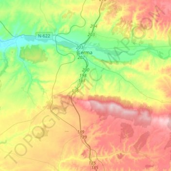
Name: Lerma topographic map, elevation, terrain.
Location: Lerma, Burgos, Castilië en León, 09340, Spanje (41.88652 -3.88884 42.08762 -3.64320)
Average elevation: 911 m
Minimum elevation: 798 m
Maximum elevation: 1,051 m