Geolocate

Digli topographic map

Click on the map to display elevation.

About this map

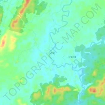
Name: Digli topographic map, elevation, terrain.

Location: Digli, Lakhipur, Cachar, Assam, 788107, India (24.84585 93.10410 24.88585 93.14410)

Average elevation: 42 m

Minimum elevation: 28 m

Maximum elevation: 76 m

Gear up for your next adventure:

🔨Vehicle Emergency Tool - Safety tool for remote road trips to trailheads
🔥Emergency Fire Starter - Reliable ignition source for all weather conditions
🥾Trail Hiking Socks - Comfortable socks to prevent blisters and fatigue
🥽Outdoor Goggles - Protective eyewear for outdoor activities
🎒Hiking Backpack - Lightweight and ergonomic backpacks for day hikes or multi-day treks

As an Amazon Associate, this site earns from qualifying purchases at no extra cost to you.