
Wibrin topographic map
Interactive map
Click on the map to display elevation.
About this map
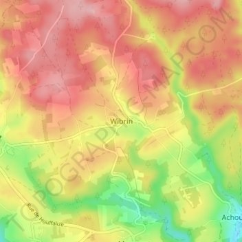
Name: Wibrin topographic map, elevation, terrain.
Location: Wibrin, Bastenaken, Luxemburg, Wallonië, 6660, België (50.14612 5.69560 50.18612 5.73560)
Average elevation: 419 m
Minimum elevation: 319 m
Maximum elevation: 489 m