
Ranst topographic map
Interactive map
Click on the map to display elevation.
About this map
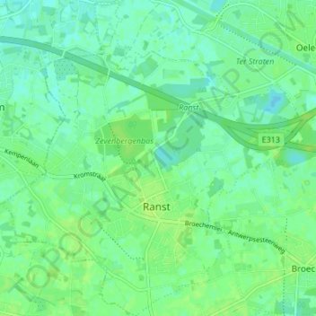
Name: Ranst topographic map, elevation, terrain.
Location: Ranst, Antwerp, Flanders, Belgium (51.17505 4.53008 51.21741 4.59332)
Average elevation: 10 m
Minimum elevation: 4 m
Maximum elevation: 15 m