
Mahina topographic map
Interactive map
Click on the map to display elevation.
About this map
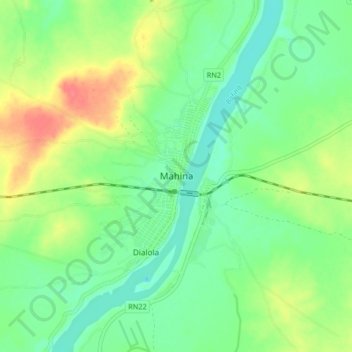
Name: Mahina topographic map, elevation, terrain.
Location: Mahina, Cercle de Bafoulabé, Kayes, Mali (13.72056 -10.88819 13.80056 -10.80819)
Average elevation: 107 m
Minimum elevation: 86 m
Maximum elevation: 142 m