
Laverton topographic map
Interactive map
Click on the map to display elevation.
About this map
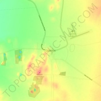
Name: Laverton topographic map, elevation, terrain.
Location: Laverton, Western Australia, 6440, Australia (-28.66631 122.36338 -28.58631 122.44338)
Average elevation: 461 m
Minimum elevation: 423 m
Maximum elevation: 500 m