Geolocate

Anislag topographic map

Click on the map to display elevation.

About this map

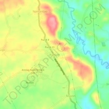
Name: Anislag topographic map, elevation, terrain.

Location: Anislag, Daraga, Albay, Bicol Region, Philippines (13.05447 123.68247 13.09447 123.72247)

Average elevation: 64 m

Minimum elevation: 14 m

Maximum elevation: 119 m

Gear up for your next adventure:

🧴Waterproofing Spray - Restore the DWR coating on jackets and tents
🛶Canoe Life Vest - Safety vest for water sports
🧰Survival Kit - Essential gear for emergencies in the wilderness
🧥Thermal Layer - Insulating layer for cold outdoor conditions
🥾Trekking Boots - Durable boots for long-distance trekking

As an Amazon Associate, this site earns from qualifying purchases at no extra cost to you.