Geolocate

Knin topographic map

Click on the map to display elevation.

About this map

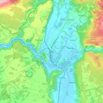
Name: Knin topographic map, elevation, terrain.

Location: Knin, Grad Knin, Šibenik-Knin County, 22300, Croatia (44.00085 16.15943 44.08085 16.23943)

Average elevation: 321 m

Minimum elevation: 212 m

Maximum elevation: 584 m

Gear up for your next adventure:

🧳Compression Sacks - Maximize space in your backpack by shrinking gear
🔋Lithium AA Batteries - Long-lasting power that performs in extreme cold
💡LED Headlamp - Hands-free illumination for night hiking and camping
🧢Hiking Sun Hat - Wide-brimmed protection for exposed mountain ridges
🧭GPS Tracker - Track your location in remote areas safely

As an Amazon Associate, this site earns from qualifying purchases at no extra cost to you.