
Sommer topographic map
Interactive map
Click on the map to display elevation.
About this map
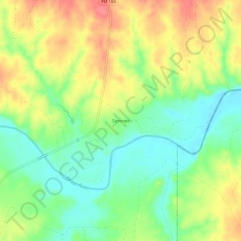
Name: Sommer topographic map, elevation, terrain.
Location: Sommer, Cottle County, Texas, États-Unis (34.21372 -100.07837 34.25372 -100.03837)
Average elevation: 484 m
Minimum elevation: 452 m
Maximum elevation: 522 m