
Pittsview topographic map
Click on the map to display elevation.
Pittsview
Pittsview is located at 32°11′18″N 85°09′50″W / 32.18845°N 85.16384°W / 32.18845; -85.16384. The community is located in rural southern Russell County. U.S. Route 431 passes just west of the community as a four-lane divided highway, leading north 25 mi (40 km) to Phenix City, the Russell County seat, and south 23 mi (37 km) to Eufaula. It sits at an elevation of 239 feet (73 m).
About this map
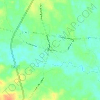
Name: Pittsview topographic map, elevation, terrain.
Location: Pittsview, Russell County, Alabama, 36871, United States (32.16821 -85.18327 32.20821 -85.14327)
Average elevation: 79 m
Minimum elevation: 64 m
Maximum elevation: 105 m
Other topographic maps
Click on a map to view its topography, its elevation and its terrain.