
Taham topographic map
Interactive map
Click on the map to display elevation.
About this map
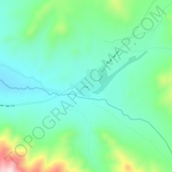
Name: Taham topographic map, elevation, terrain.
Location: Taham, Zanjan County, Zanjan Province, Iran (36.77134 48.54803 36.81134 48.58803)
Average elevation: 2,056 m
Minimum elevation: 1,915 m
Maximum elevation: 2,471 m