Ngadi Chuli topographic map
Click on the map to display elevation.
Ngadi Chuli
Ngadi Chuli (also known as Peak 29, Dakura, Dakum, or Dunapurna) is a mountain in the Mansiri Himal (or Manaslu Himal), also known as the Gurkha Massif, in Nepal. With an elevation of 7,871 metres (25,823 ft) above sea level, it is the 20th-highest mountain on Earth.
About this map
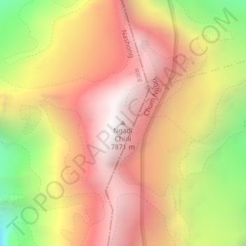
Name: Ngadi Chuli topographic map, elevation, terrain.
Location: Ngadi Chuli, Nashong, Manang, Gandaki Province, Nepal (28.50388 84.56720 28.50398 84.56730)
Average elevation: 6,917 m
Minimum elevation: 5,703 m
Maximum elevation: 7,761 m
Other topographic maps
Click on a map to view its topography, its elevation and its terrain.