
Los Lirios topographic map
Interactive map
Click on the map to display elevation.
About this map
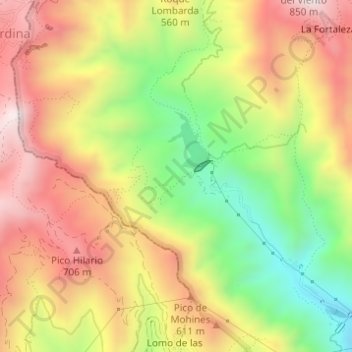
Name: Los Lirios topographic map, elevation, terrain.
Location: Los Lirios, Santa Cruz de Tenerife, Canarias, 38293, España (28.50693 -16.27316 28.50889 -16.26948)
Average elevation: 459 m
Minimum elevation: 106 m
Maximum elevation: 777 m