
Sabarís topographic map
Interactive map
Click on the map to display elevation.
About this map
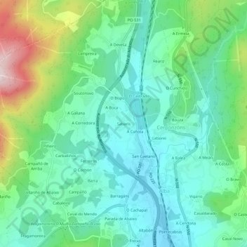
Name: Sabarís topographic map, elevation, terrain.
Location: Sabarís, Pontevedra, Galicia, 36152, España (42.45523 -8.67427 42.49523 -8.63427)
Average elevation: 126 m
Minimum elevation: 3 m
Maximum elevation: 465 m