Geolocate

Twistringen topographic map

Click on the map to display elevation.

About this map
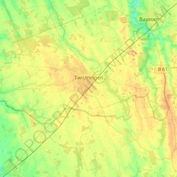
Name: Twistringen topographic map, elevation, terrain.

Location: Twistringen, Landkreis Diepholz, Nedersaksen, 27239, Duitsland (52.72835 8.44992 52.85101 8.70315)

Average elevation: 49 m

Minimum elevation: 27 m

Maximum elevation: 73 m

Other topographic maps

Click on a map to view its topography, its elevation and its terrain.

Lucht

Duitsland > Nedersaksen > Landkreis Diepholz

Average elevation: 44 m

Gear up for your next adventure:

🔨Vehicle Emergency Tool - Safety tool for remote road trips to trailheads
🚲Handlebar Phone Mount - View topographic-map.com live while cycling
🩹Compact First Aid Kit - Pre-packed essentials for common trail injuries
🧴Bear Spray Holster - Quick-access carry for essential Canadian wilderness safety
🚲Bike Repair Kit - Essential tools for on-trail mechanical issues

As an Amazon Associate, this site earns from qualifying purchases at no extra cost to you.