Geolocate

The Monument topographic map

Click on the map to display elevation.

About this map

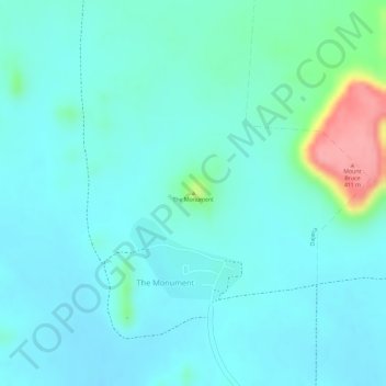
Name: The Monument topographic map, elevation, terrain.

Location: The Monument, Cloncurry Shire, Queensland, Australia (-21.75807 139.91550 -21.75797 139.91560)

Average elevation: 320 m

Minimum elevation: 299 m

Maximum elevation: 407 m

Gear up for your next adventure:

🥾Light Hiking Boots - Lightweight and comfortable boots for day hikes
🧭GPS Handheld Device - Reliable GPS navigation for outdoor adventures
🧢Outdoor Cap - Protective cap for sun and rain during hikes
🦯Trekking Poles - Reduced impact on joints for steep topographic climbs
🪑Ultralight Camping Stool - Compact seating for rest stops during long hikes

As an Amazon Associate, this site earns from qualifying purchases at no extra cost to you.