
Javier topographic map
Click on the map to display elevation.
Javier
La localidad de Javier está situada en la parte oriental de La Comunidad Foral de Navarra, a una altitud de 465 msnm. Su término municipal tiene una superficie de 46,7 km² divido en dos partes separadas por el término municipal de Sangüesa: la zona propia e históricamente de Javier y el término del antiguo pueblo de Peña.
About this map
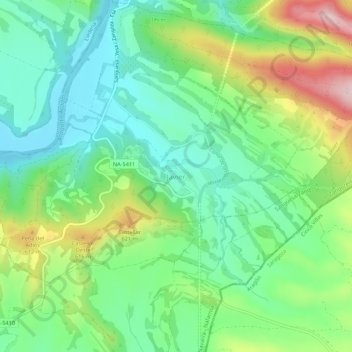
Name: Javier topographic map, elevation, terrain.
Location: Javier, Navarra, España (42.57119 -1.22869 42.61119 -1.18869)
Average elevation: 503 m
Minimum elevation: 411 m
Maximum elevation: 689 m