
Kilvert topographic map
Click on the map to display elevation.
About this map
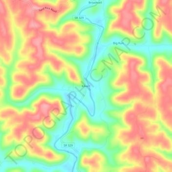
Name: Kilvert topographic map, elevation, terrain.
Location: Kilvert, Athens County, Ohio, 45778, United States (39.32535 -81.90236 39.36535 -81.86236)
Average elevation: 237 m
Minimum elevation: 180 m
Maximum elevation: 288 m