Geolocate

Pambabuela topographic map

Click on the map to display elevation.

About this map

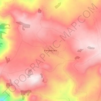
Name: Pambabuela topographic map, elevation, terrain.

Location: Pambabuela, Salinas, Guaranda, Bolívar, 020107, Ecuador (-1.40364 -79.06221 -1.36364 -79.02221)

Average elevation: 3,665 m

Minimum elevation: 3,189 m

Maximum elevation: 3,828 m

Gear up for your next adventure:

🥾Light Hiking Boots - Lightweight and comfortable boots for day hikes
🔦LED Flashlight - Powerful and long-lasting flashlight for camping and emergencies
Tent Footprint - Protect tent floor and increase durability
💡Compact LED Flashlight - Powerful and portable flashlight for outdoor use
🛶Kayak Dry Bag - Waterproof storage for kayaking adventures

As an Amazon Associate, this site earns from qualifying purchases at no extra cost to you.