
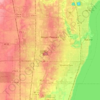
Mount Pleasant topographic map
Click on the map to display elevation.
About this map
Name: Mount Pleasant topographic map, elevation, terrain.
Location: Mount Pleasant, Racine County, Wisconsin, United States (42.66775 -87.95412 42.75685 -87.77475)
Average elevation: 205 m
Minimum elevation: 145 m
Maximum elevation: 247 m
Other topographic maps
Click on a map to view its topography, its elevation and its terrain.