Geolocate

Nalook topographic map

Click on the map to display elevation.

About this map

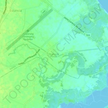
Name: Nalook topographic map, elevation, terrain.

Location: Nalook, Kalibo, Aklan, Western Visayas, 5600, Philippines (11.65025 122.36472 11.69025 122.40472)

Average elevation: 6 m

Minimum elevation: -3 m

Maximum elevation: 12 m

Other topographic maps

Click on a map to view its topography, its elevation and its terrain.

Pastrana Park

Philippines > Aklan > Kalibo > Mobo

Average elevation: 8 m

Gear up for your next adventure:

🗺️Topographic Maps - Detailed maps to explore trails, mountains, and wilderness areas
🦶Hiking Shoe Insoles - Added support for high arches and long days on feet
🧥Waterproof Jacket - Lightweight rain jackets for hiking and outdoor activities
🧦Merino Wool Socks - Moisture-wicking comfort for long-distance hiking
🧥Thermal Layer - Insulating layer for cold outdoor conditions

As an Amazon Associate, this site earns from qualifying purchases at no extra cost to you.