
Puhi topographic map
Click on the map to display elevation.
About this map
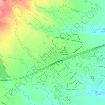
Name: Puhi topographic map, elevation, terrain.
Location: Puhi, Kauaʻi County, Hawaii, United States (21.96167 -159.40759 21.97828 -159.38934)
Average elevation: 114 m
Minimum elevation: 69 m
Maximum elevation: 215 m