
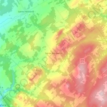
Sainte-Marguerite topographic map
Interactive map
Click on the map to display elevation.
About this map
Name: Sainte-Marguerite topographic map, elevation, terrain.
Average elevation: 288 m
Minimum elevation: 160 m
Maximum elevation: 436 m
Other topographic maps
Click on a map to view its topography, its elevation and its terrain.
Décharge de Sainte-Marguerite
Canada > Québec > La Nouvelle-Beauce > Sainte-Marguerite
Décharge de Sainte-Marguerite, Sainte-Marguerite, La Nouvelle-Beauce, Chaudière-Appalaches, Québec, G0S 2X0, Canada
Average elevation: 277 m