Geolocate

Sidokerto topographic map

Click on the map to display elevation.

About this map

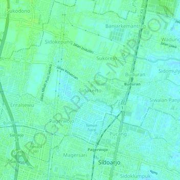
Name: Sidokerto topographic map, elevation, terrain.

Location: Sidokerto, Buduran, Sidoarjo, East Java, 61219, Indonesia (-7.45020 112.69360 -7.41020 112.73360)

Average elevation: 4 m

Minimum elevation: -1 m

Maximum elevation: 8 m

Gear up for your next adventure:

🥘Camping Cookware Set - Compact nesting pots and pans for trail cooking
🧢Hiking Hat - Sun-protective and breathable hats for long treks
🪑Insulated Seat Pad - Protect your seat from cold rocks and wet logs
🛶Kayak Dry Bag - Waterproof storage for kayaking adventures
🧰Emergency Multi-Tool - Compact multi-tool for outdoor survival

As an Amazon Associate, this site earns from qualifying purchases at no extra cost to you.