
Cloverdale Coastal Ranches topographic map
Click on the map to display elevation.
About this map
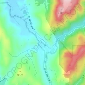
Name: Cloverdale Coastal Ranches topographic map, elevation, terrain.
Average elevation: 106 m
Minimum elevation: 23 m
Maximum elevation: 276 m
Other topographic maps
Click on a map to view its topography, its elevation and its terrain.
Montara
United States > California > San Mateo County
The rare and endangered species Hickman's potentilla occurs at the northern extremity of Montara on the slopes above Martini Creek at elevations ranging from 32 to 410 ft (9.8 to 125.0 m).
Average elevation: 66 m
San Carlos
United States > California > San Mateo County > San Carlos > San Carlos
Average elevation: 47 m
West Menlo Park
United States > California > San Mateo County > West Menlo Park
Average elevation: 51 m
Baden
United States > California > San Mateo County > South San Francisco > Baden
Average elevation: 50 m
Half Moon Bay
United States > California > San Mateo County > Half Moon Bay > Half Moon Bay
Average elevation: 73 m