Geolocate

Katwara topographic map

Click on the map to display elevation.

About this map

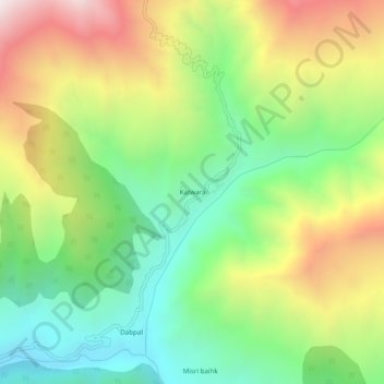
Name: Katwara topographic map, elevation, terrain.

Location: Katwara, Kupwara, Jammu and Kashmir, India (34.67311 74.45994 34.71311 74.49994)

Average elevation: 2,932 m

Minimum elevation: 2,371 m

Maximum elevation: 3,750 m

Gear up for your next adventure:

🧦Thermal Socks - Warm socks for winter hiking or camping
🧦Outdoor Socks - Durable socks designed for hiking and outdoor sports
🛁Quick-Dry Microfiber Towel - Space-saving towel that dries rapidly on the move
🔦UV Flashlight - Detect minerals or specific insects in the dark
🧥Thermal Fleece Jacket - Versatile insulation for changing mountain temperatures

As an Amazon Associate, this site earns from qualifying purchases at no extra cost to you.